
Cambisol
Description

Cambisol is a small innovation partner who are always happy to add their energy into a project. Their area of focus is sustainable land management using their background in GIS (Geographic Information System) and using tools like remote sensing and drones. Cambisol is rooted in the academic world, however they like to convert maps or data analyses into concrete designs or ideas for whoever needs to understand them.
Role
Cambisol is responsible for the drone surveys in the Monitoring Nodes in 8 countries in Eurosion, including the preparations, drone flights and data analysis. In addition, they will assist in converting the output into tangible information to share with the public.
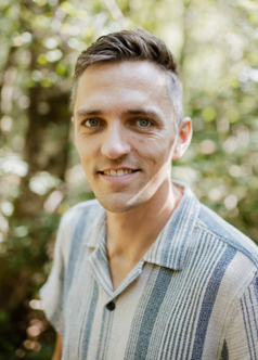
Teun Vogel
Teun likes to energise things and projects. For EUROSION he combines his background and experience in drone mapping with his pragmatic project management skills. Please, if he comes up with a new idea, give it a bit of space to develop and most probably it will turn into something useful for the project. With his companions at Cambisol, Teun will travel quite a bit for EUROSION to collect data for the drone surveys, as well as to communicate about the project.
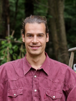
Anton Pijl
Anton is a deep digger, with his feet on the ground. For EUROSION, he is using his background with a PhD in soil erosion modelling to enrich EUROSION with the drone surveys. Anton will not settle for less than a top quality (yet practical) data analysis. Might you take the train to a random location in Europe, be ready to meet him, he might very well be sharing stories on erosion in Europe.
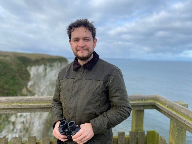
Tijs de Pagter
Tijs is a remote sensing data and field specialist at Cambisol. Licensed to fly drones, he collects the drone data on behalf of Cambisol for the project as input for the water erosion models. Be cautious: he works fast and efficient and is really part of the next generation of spatial data analysts.