


 MORE ON THE PROJECT
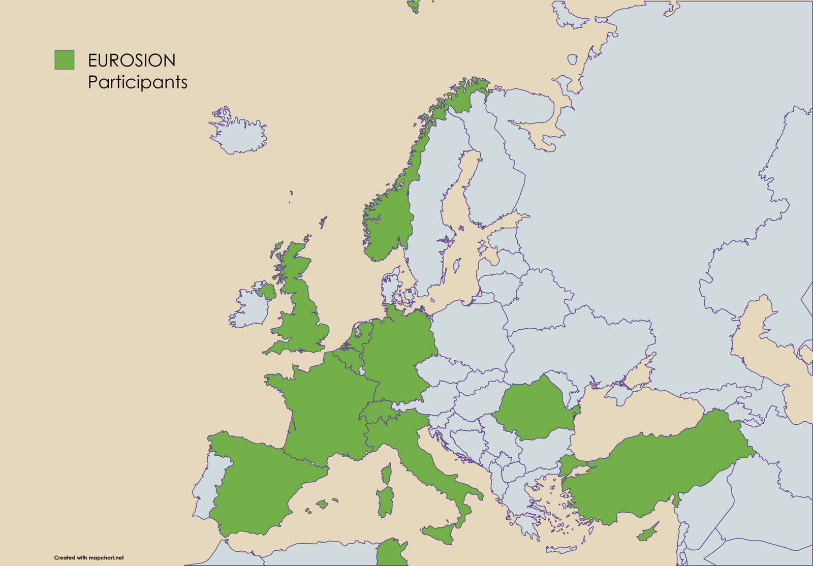
EUROSION is a large-scale research and innovation project funded by Horizon Europe with a budget of €11.49 million, bringing together 24 partners from 13 countries, stretching from Tunisia to Norway and United Kingdom to Türkiye.
 BUDGET
11,493,730.51 €
TIME
5 years project
Start : November 1, 2025
Research and Innovation Action
Grant Agreement n° 101218843









Monitoring Nodes
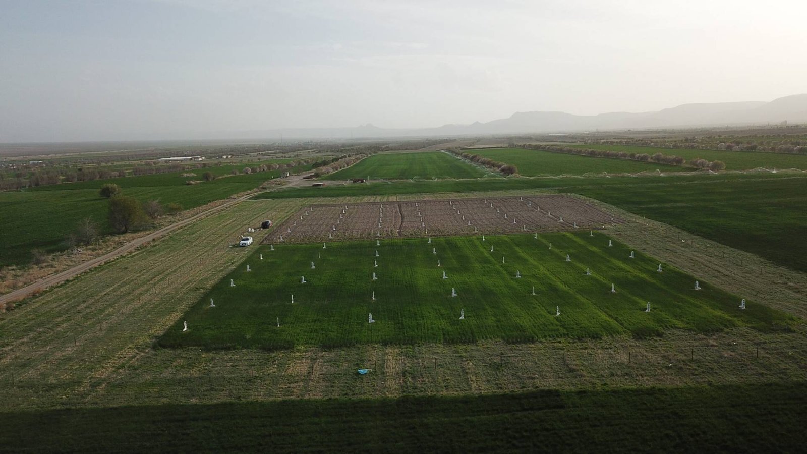
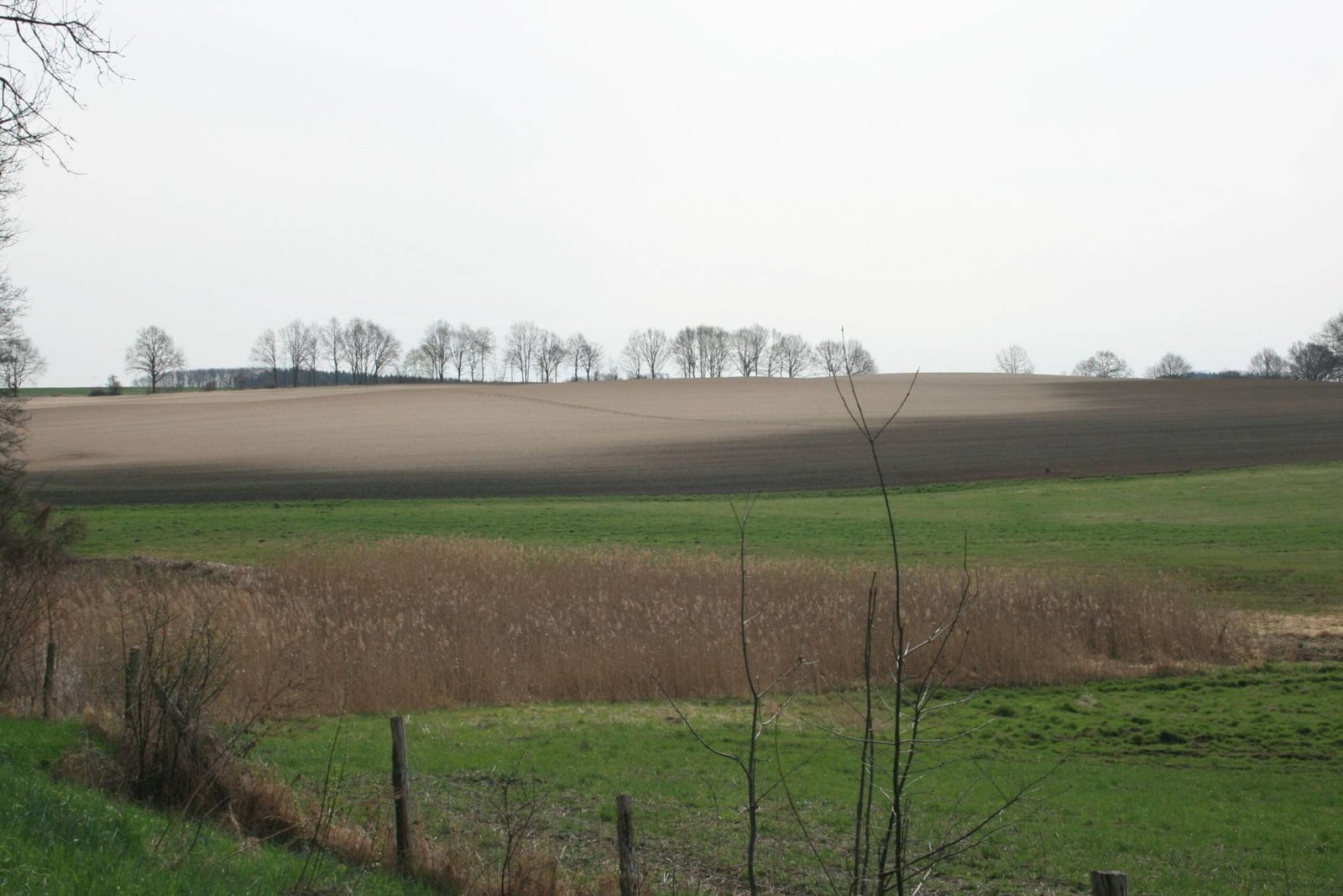
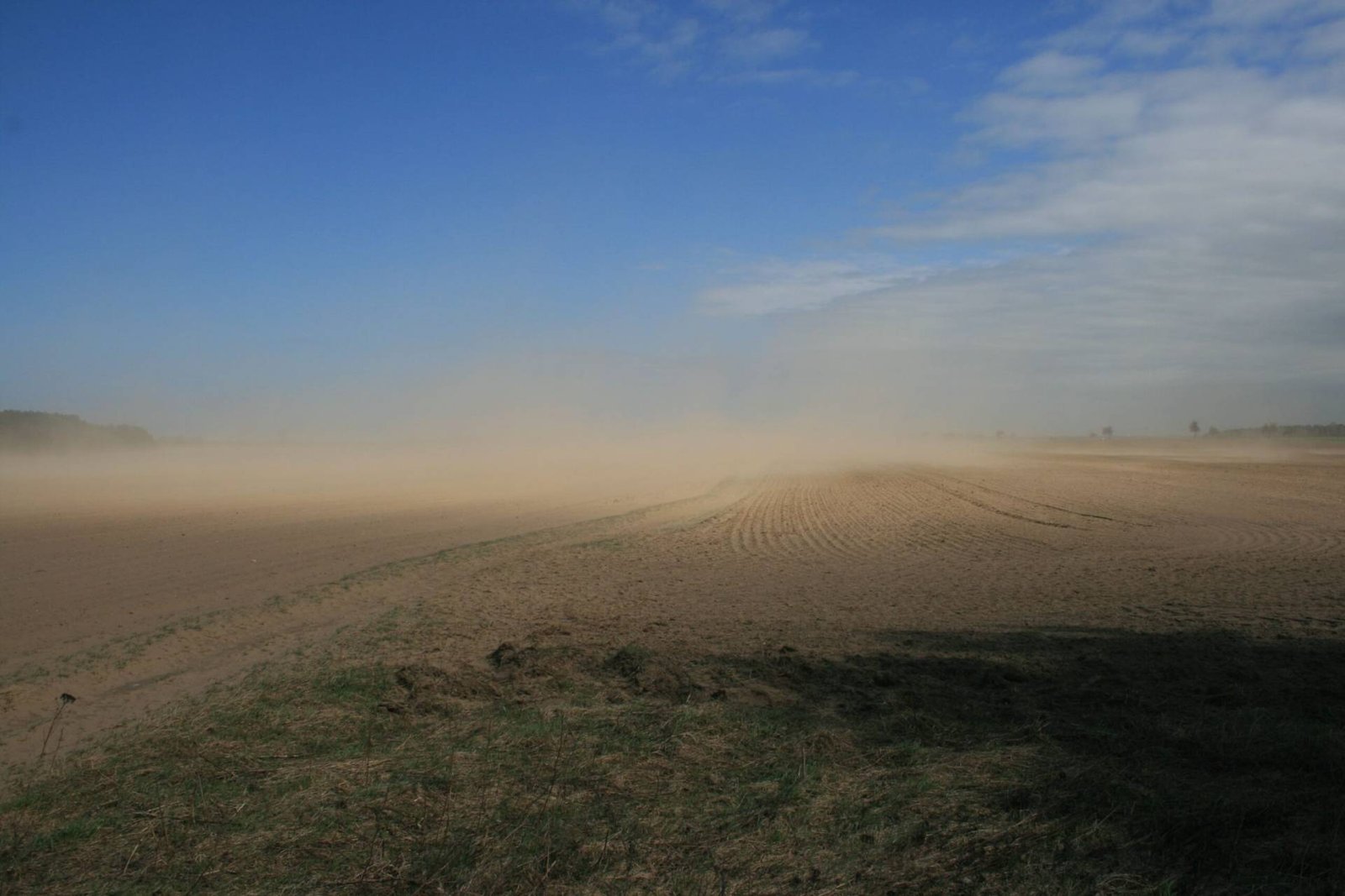
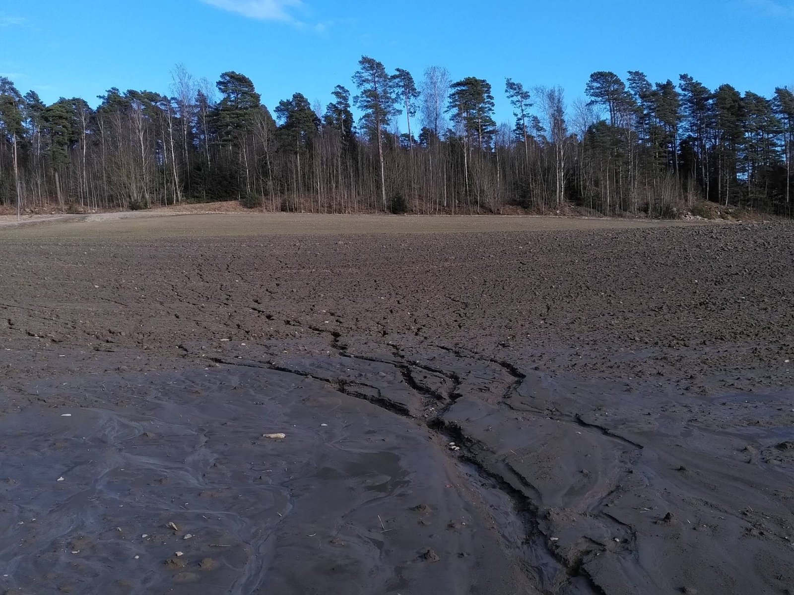
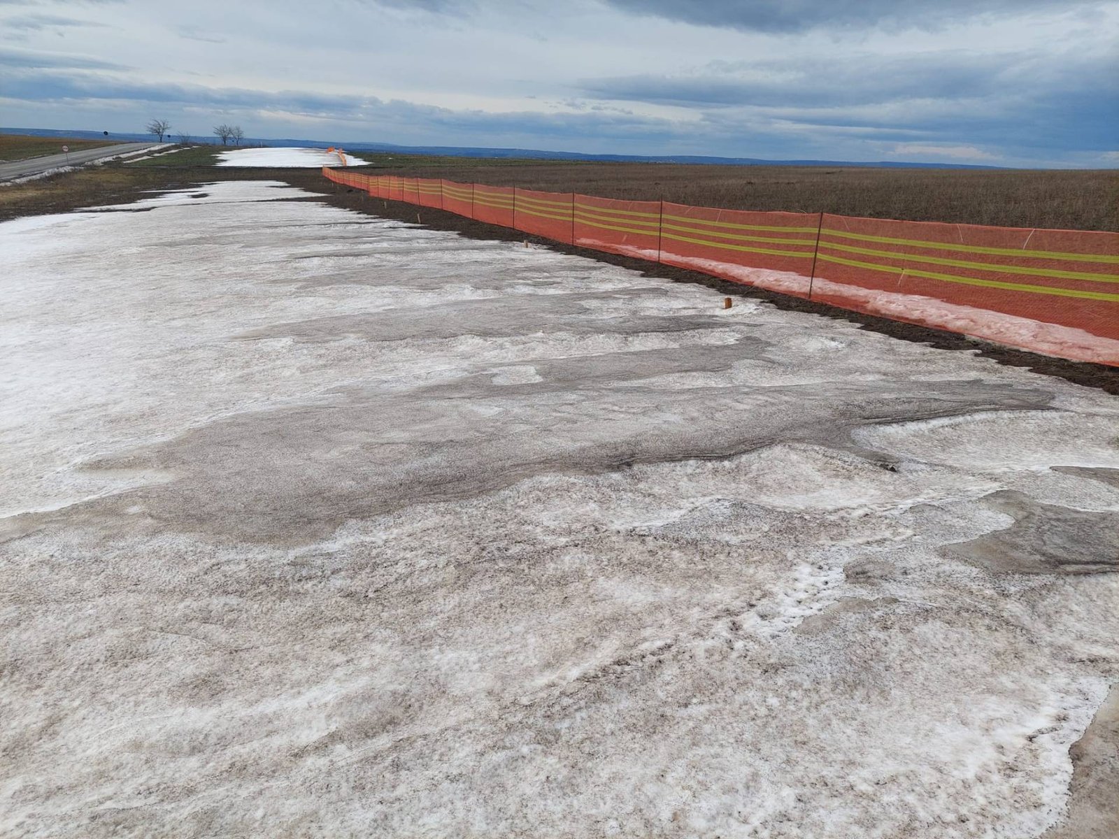
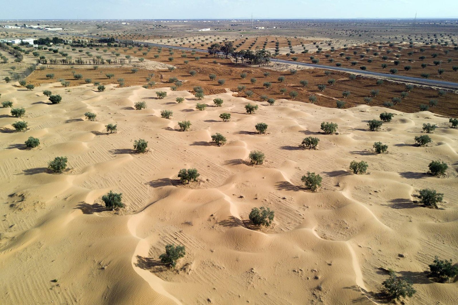
EUROSION aims to establish the first pan-European dynamic soil erosion monitoring network. The project relies on 14 monitoring nodes, acting as open-air laboratories, covering the main erosion processes: water erosion, tillage erosion and wind erosion.
Citizen science
To feed the data on erosion in Europe, EUROSION will also develop a unique citizen science approach. If you’re a citizen or you belong to an existing monitoring site, and you want feed this project, reach out to us!
SUBSCRIBE TO OUR NEWSLETTER
Beyond relying on existing monitoring nodes, EUROSION will also develop a citizen science approach to feed the data on erosion in Europe, so if you’re a citizen or you belong to an existing monitoring site, and you want feed this project.
Soon, you’ll receive updates on EUROSION activities!
PhD offers
Find below our PhD and Postdoctoral vacancies!
Frequently Asked Questions: FAQ
About the Project
What is the EUROSION project and what are its main objectives?
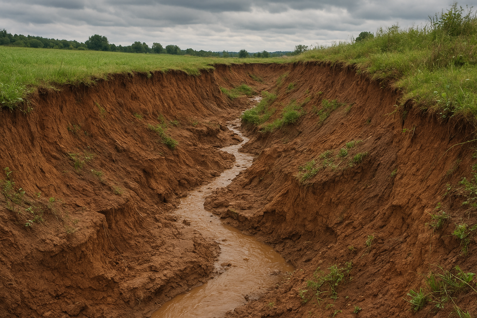
The EUROSION project (2025–2030) is a large Horizon Europe research and innovation initiative focused on soil erosion, not coastal erosion. It began on 1 November 2025 and runs until 31 October 2030, with a total budget of €11.49 million. EUROSION’s core mission is to develop the first pan-European dynamic soil erosion monitoring network, addressing erosion caused by water, wind, and tillage across agricultural landscapes. It brings together 24 partners from 13 countries, ranging geographically from Tunisia to Norway and United Kingdom to Türkiye. The project aims to support the European Soil Strategy, the European Green Deal, and future updates to the Common Agricultural Policy (CAP) by providing highquality data, tools, and recommendations. What is soil erosion? Soil erosion is the wearing away of the top layer of soil by wind, water, or human activity. It happens when soil is left exposed and loses the plants or roots that normally hold it in place. Over time, erosion reduces soil fertility and can damage ecosystems or farmland. It also contributes to problems like sediment buildup in rivers and streams.
Why is research about soil erosion in Europe important?
Research on soil erosion in Europe is crucial because it addresses major environmental, agricultural, economic, and climate-related challenges that directly affect the continent’s long‑term sustainability. Here are the key reasons, supported by evidence from recent European research and policy analyses:
- Soil erosion threatens food security and agricultural productivity.Soil erosion reduces soil fertility by removing nutrient‑rich topsoil, directly lowering agricultural yields. It is identified as one of the most critical forms of soil degradation and a major threat to agricultural productivity in Europe.
- Itimpactswater quality, ecosystems, and biodiversity. Erosion increases sedimentation in rivers and reservoirs, promotes eutrophication, and harms aquatic habitats.
- Soil erosion accelerates climate change.When erosion removes or disturbs soil, stored carbon is released back into the atmosphere, increasing greenhouse gas levels.
- Soil erosion increases vulnerability to extreme weather and reduces climate resilience.Eroded soils store less water, making landscapes more vulnerable to droughts, floods, and other climate extremes.Recent large‑scale assessments show that erosion risk is highest in southern Europe, where climate pressures make landscapes increasingly fragile.
- It imposes high economic costs, as soil erosion damages infrastructure (roads, railways), reduces land value, and increases water treatment costs due to sedimentation.
Which countries and partners are involved in the EUROSION project?
EUROSION includes partners from 13 countries across a broad geographic range: France, Belgium, United Kingdom, Norway, Netherlands, Germany, Switzerland, Spain, Tunisia, Cyprus, Türkiye, Italy, Romania. There are 23 partners (Wageningen University & Research, University of Leuven, Cardiff University, Universita degli Studi di Padova, ZALF, University of Twente, SRON, CNRS, IRD, Institut des Régions Arides, NIBIO, COMU, IEEP, The Cyprus Insitute, Universitatea Alexandru Ioan Cuza din Iasi, Universidad de Almeria, VARDA, ISRIC, CCRI & University of Gloucestershire, HFFA Research, Cambisol, Eurioquality, Fast Hazard) and 1 associated partner (BFH)
How is the EUROSION project funded and how long will it run for?
EUROSION is funded by the European Union with a financial contribution of €11.49 million and is designed to run over a 5-year funding period, during which the network will develop, operate monitoring sites, and advance data integration and modelling.
What key new outputs will be generated by the EUROSION project?
The key new output of EUROSION is a comprehensive, innovative, pan-European erosion monitoring network and dataset designed to significantly improve understanding, prediction, and mitigation of soil erosion across Europe.
What are other projects that are closely linked to EUROSION?
EUROSION works alongside other EU Mission Soil initiatives such as AI4SoilHealth, BENCHMARKS and Soil O-Live.
How does EUROSION monitor soil erosion across different spatial and temporal scales?
EUROSION uses a multiscale, multiprocess monitoring framework that integrates field measurements, remote sensing, modelling, and citizen science to track soil erosion dynamics both in space (local to Pan-EU-wide) and over time (from event based to long-term trends).
What is the role of citizen science in EUROSION?
Citizen science plays a strategic and expanding role in the EUROSION monitoring network. EUROSION is developing a unique citizen science approach that allows individuals and local groups to contribute erosion observations directly to the European monitoring system. These contributions help feed real‑world data into the project’s database, complementing data collected from the 14 scientific monitoring nodes.
Is there a soil erosion network I can join?
Yes, EUROSION is setting up a soil erosion monitoring network for exchanging data, collaboration opportunities, networking, and sharing resources and research. The network is expected to launch in November 2026. If you would like to join the network or find out more, please contact Dr Charlotte Chivers: cchivers@glos.ac.uk
Monitoring & Data
What data does EUROSION collect?
EUROSION works with a broad range of environmental and geospatial data covering soil properties, land use, vegetation, meteorology and erosion processes. This includes soil physical properties, runoff, sediment fluxes, wind erosion indicators, crop management practices and erosion observations contributed through citizen science activities.
Where does the data come from?
Data is sourced from three main streams: existing European and international datasets, such as satellite imagery, soil texture maps, rainfall records and field boundary data from programmes including Copernicus, LUCAS and ERA5-Land, long-term field experiments located across the Monitoring Nodes, and newly collected measurements generated through the harmonized monitoring network established as part of the project, representing a range of erosion hotspots and pedo-climatic conditions across Europe.
How is the data used?
Data collected and generated by EUROSION serves multiple purposes: it underpins peer-reviewed scientific publications, informs the development of policy and technical reports, supports improved soil erosion policy monitoring at European level, and feeds into the production of dynamic erosion maps and an open-access interactive dashboard for policymakers, researchers and land managers.
Impact & Results
When & where can I get access to the results of EUROSION?
EUROSION runs from 1 November 2025 to 31 October 2030. Interim results will gradually appear during the 2025–2030 project period, as the monitoring network, models, and platform are developed and launched. Project Results should be publicly available around late 2030, following project completion on the EUROSION website.
Participation & Opportunities
Are there any opportunities to do an MSc, PhD, or postdoctoral research about soil erosion?
Yes, EUROSION does offer research opportunities, particularly at the PhD and postdoctoral levels, and it also engages with citizen science and monitoring sites, which may indirectly create openings suitable for MSc thesis work. See PhD offers section on the website’s landing page.
Contact
How can I contact the research team?
Central project email, for general and specific inquiries: eurosion@wur.nl
Who should I contact for project scientific partnerships about soil erosion?
EUROSION welcomes collaboration with research institutions, policymakers, and other stakeholders interested in soil erosion monitoring and sustainable land management. For scientific partnerships, please contact the project coordination team via eurosion@wur.nl with a brief description of your organisation, expertise, and proposed area of collaboration. Your inquiry will be directed to the appropriate scientific lead or work package leader within the project.
How can I contact specific monitoring sites?
Monitoring sites within the EUROSION network are managed by partner institutions across Europe and associated regions. If you are interested in contacting a specific site, you can send your request to the central project email (eurosion@wur.nl), indicating the location or type of site you are interested in.
Your request will be forwarded to the relevant partner or site manager, who will respond directly where appropriate.